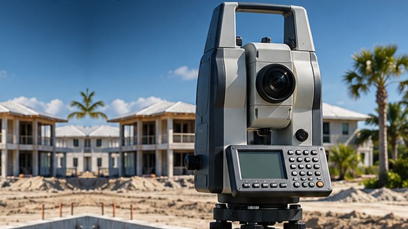
Surveying support
Field and office support for boundary, ALTA/NSPS, construction staking, site layouts and as-builts, from field collection to final drawings.
See what's included →30+ years of experience supporting civil engineering, land development, surveying, construction and technical project delivery for firms in Southwest Florida and statewide.
Ave Maria, Florida
Nicolas Valles combines more than 30 years of experience in civil engineering, surveying technical support, construction management and university teaching. He holds a degree in Civil Engineering and a Master of Science in Construction Management. His work spans site development, roadway and drainage support, erosion control, cost estimating, GNSS fieldwork and AutoCAD Civil 3D documentation.
A retired full professor and former Dean of Postgraduate Studies and Director of the Civil Engineering Program at Universidad Nacional Experimental Francisco de Miranda, he now teaches in the Surveying Management and Construction Management programs at Everglades University. Based in Ave Maria, Florida, he connects field experience, technical knowledge and clear communication to support project teams from planning through closeout.
Drafting, design support, field coordination and documentation for engineering, surveying and construction firms that need an experienced hand on their projects. Technical work is coordinated with the responsible licensed professional and prepared for project-specific review.
Field and office support for boundary, ALTA/NSPS, construction staking, site layouts and as-builts, from field collection to final drawings.
See what's included →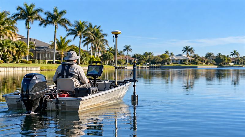
Single-beam and multibeam data collection, processing and depth-contour maps of lakes, ponds, canals and stormwater basins.
See what's included →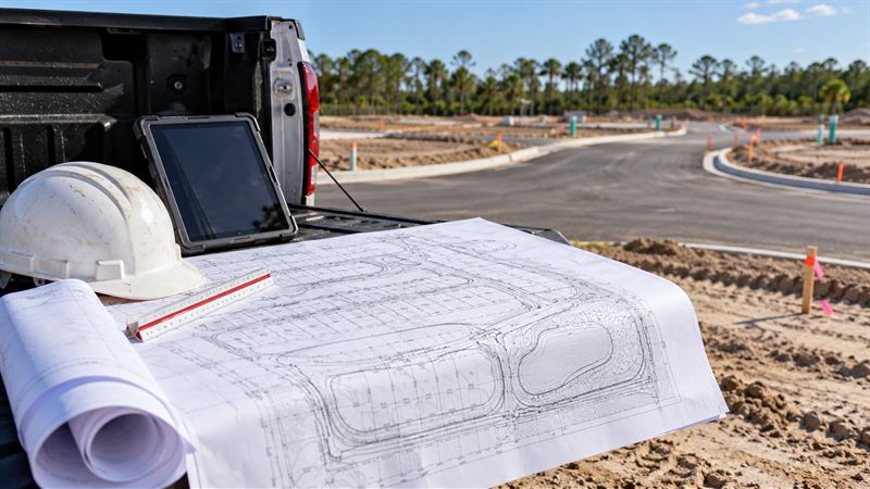
Design support, calculations and permit-ready plan preparation for land development and infrastructure projects.
See what's included →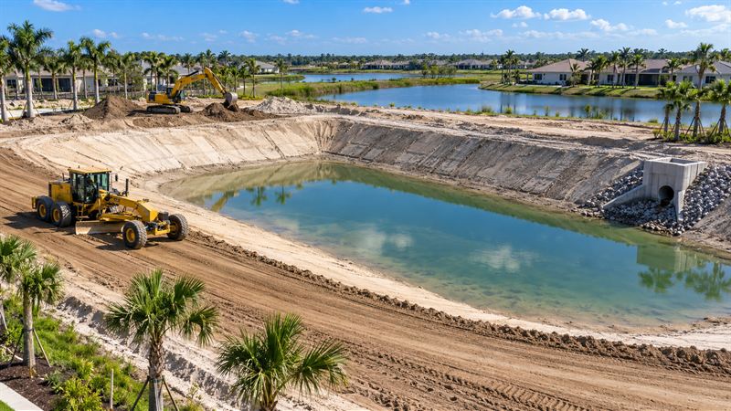
Grading plans, drainage layouts, stormwater calculations and permit-package support.
See what's included →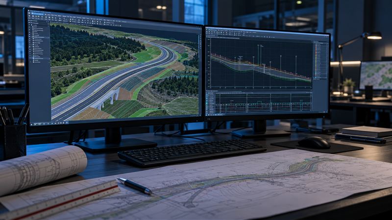
Surfaces, alignments, profiles, plan sets and sheet production in AutoCAD Civil 3D.
See what's included →
Quantity takeoffs, engineer's estimates, bid tabulations and proposal support.
See what's included →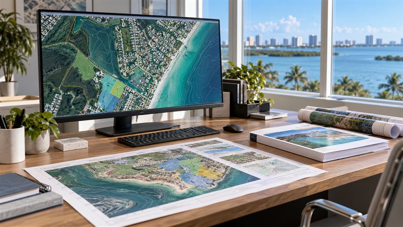
GIS data preparation, exhibits, base maps and technical reports.
See what's included →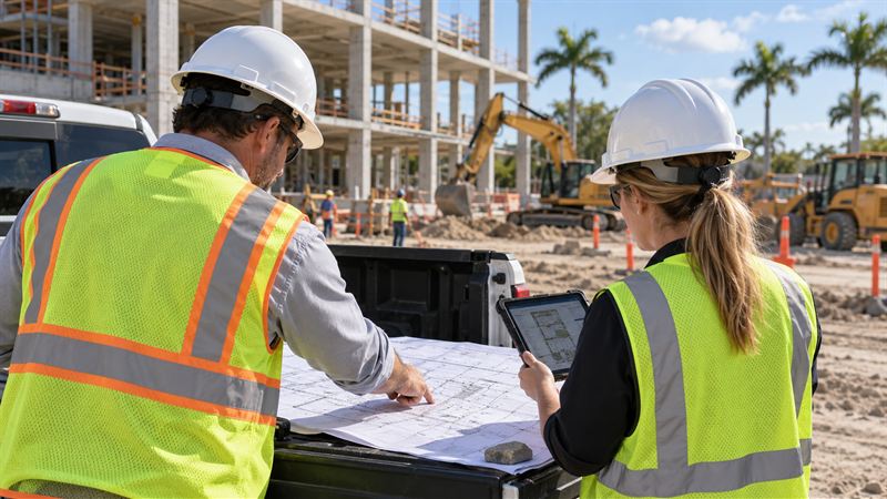
Construction observation, field reports, RFIs and coordination between owner, contractor and design team.
See what's included →A quick reference for owners, builders and developers who are not sure which survey or study their project requires.
Locates and marks the legal property lines and corners of a parcel using the deed, recorded plats and evidence found in the field.
When you need it: buying or selling land, installing a fence, building near a property line or settling a line dispute.
Maps ground elevations, contours and existing features such as trees, utilities, pavement and structures.
When you need it: before site design, grading, drainage planning or a permit application.
A detailed boundary survey prepared to national standards that shows improvements, easements, encroachments and the matters listed in the title commitment.
When you need it: commercial real estate purchases, refinancing and title insurance.
The FEMA form that documents a building's floor elevations compared with the Base Flood Elevation (BFE) of its flood zone.
When you need it: rating flood insurance, building permits in flood zones and LOMA requests.
Sets stakes, offsets and marks on site so buildings, roads and utilities are built in the designed position and at the designed grade.
When you need it: at every stage of construction, from clearing limits to curbs and finished floor.
Records the actual location and elevation of what was built, so it can be compared with the approved plans.
When you need it: final inspections, certificate of occupancy, stormwater certifications and record drawings.
A "pre-as-built" survey of the slab or foundation of a new building or addition. It confirms the footprint meets the approved setbacks and the minimum floor elevation before vertical construction continues. In Collier County it is the "10-day spot survey" required after the slab inspection, often submitted with an under-construction Elevation Certificate.
When you need it: new homes, additions that change the footprint, and permits placed on an inspection hold until the spot survey is approved.
Locates trees on a site and records their species, trunk diameter and canopy, shown on a map with the property lines.
When you need it: site plans and tree removal permits, and designs that must protect specimen or native trees.
Draws water, sewer, storm, electric, gas and telecom lines from utility record plans and county GIS, and ties them to what can be seen and measured on site: manholes, valves, boxes, poles and Sunshine 811 paint marks (ASCE 38 Quality Levels D and C). It does not detect buried lines with ground-penetrating radar (GPR); when that is needed, it is coordinated with a specialized locating firm.
When you need it: early design and planning, to show where existing utilities are expected before a detailed locate or excavation.
Sets a network of accurate control points with GNSS/RTK and leveling, tied to state plane coordinates (NAD 83) and elevations (NAVD 88).
When you need it: at the start of large projects, so every survey, design and stakeout uses the same reference.
Measures water depths and the shape of the bottom of lakes, ponds, canals and basins using an echo sounder and GNSS.
When you need it: dredging, sediment volume checks, pond certification, docks and seawalls.
Compares the current bottom with the design or a previous survey to calculate how much sediment has built up and must be removed.
When you need it: planning dredging, maintenance budgets and contractor pay quantities.
Measures pond banks, bottom, control structures and water levels to confirm the pond matches its permitted design.
When you need it: permit compliance, HOA maintenance and as-built certification.
Reading and putting to use the soil borings and lab results (SPT, classification, Proctor, permeability) from a geotechnical testing firm: bearing capacity, settlement, compaction and fill quantities, and pavement section checks for the project's design team. Field drilling and lab testing are performed by a specialized geotechnical firm, coordinated as part of the project.
When you need it: turning a soil report into design numbers for foundations, pavements, retaining walls and fill placement.
The process of turning raw land into buildable lots: feasibility, site planning, grading, roads, utilities and permitting.
When you need it: subdivisions, commercial sites and any project that starts from an undeveloped parcel.
Preparation of site plans, plan revisions and permit packages for county, city and water management district review.
When you need it: new projects, site modifications and responses to reviewer comments.
Design of finished ground surfaces and drainage systems (swales, inlets, pipes and ponds) that control runoff and meet water management district and county rules.
When you need it: new construction, additions that increase impervious area and flooding problems.
Runoff, pipe, inlet and pond sizing calculations that show the drainage system works for the design storm.
When you need it: permit applications, flooding complaints and drainage upgrades.
3D surfaces, alignments, corridors and earthwork volumes that produce plan, profile and cross-section sheets.
When you need it: roads, site plans, earthwork balance and any plan set that must match field data.
Organized drawing sets with title blocks, sheet index, details and notes, ready for review and printing.
When you need it: permit submittals, bidding and construction.
Quantity takeoffs and unit prices that forecast what a project will cost.
When you need it: budgets, feasibility studies, bid preparation and pay applications.
Bid forms and item lists, plus a line-by-line comparison of the bids received from contractors.
When you need it: selecting a contractor in public or private procurement.
Geographic data organized in map layers such as parcels, flood zones, utilities and aerial imagery, ready to analyze and share.
When you need it: site selection, asset inventories, exhibits and planning studies.
Clear maps, figures and written reports that explain site conditions, findings and recommendations.
When you need it: permits, public hearings, client presentations and claims.
Field observation of the work, checking it against plans and specifications and documenting progress in daily reports.
When you need it: during construction, for owners, lenders and public agencies.
Keeping owner, contractor and design team aligned through meetings, schedules, RFIs and submittal tracking.
When you need it: from preconstruction to project closeout.
Topographic and bathymetric data collected in the field, processed and modeled in Civil 3D, and delivered as plans your licensed professional can review and seal.
Naples, Fort Myers, Cape Coral, Bonita Springs, Estero, Marco Island, Immokalee, Ave Maria, LaBelle, Punta Gorda and Port Charlotte. Site visits are scheduled according to project needs and availability.
Available for project-based assignments anywhere in Florida, including Miami-Dade, Broward, Palm Beach, Tampa Bay, Orlando and North Florida.
Soil mechanics, roadway design, construction methods and field-to-finish project support.
Support for municipal, county and state work as well as private land development.
Leads crews and drafters, and keeps the work organized from first meeting to closeout.
Knows what works on site, so the plans hold up in construction.
Available when your team is stretched, for a single task or a full assignment.
Online courses built from decades of field work and university teaching. Practical, step-by-step, and focused on what you use on real projects.
All courses on this page are taught entirely in English. Looking for the Spanish editions?
Available for consulting, subcontract support, project-based assignments and technical collaboration.
Start a RequestDescribe the scope, location and schedule. I'll reply with availability and a proposal, usually within one business day.
Thank you. Your request reached Nicolas, and you'll hear back within one business day. For anything urgent, call 239-374-6701.
Copy it and send it to info@nicolasvalles.com, or open it in your email app.